Map Your Farm
Join Agrilyze to learn more about your land and access tools to make your record-keeping easy with this farm management solution.
Get Started With Confidence
We are a leading-edge, cloud-hosted analytics platform that blends actionable, local data, and high tech to help your farm management at its best.
At Agrilyze, our goal is to help you make more informed decisions to improve your operation’s productivity and profitability.
From each farmer to every crop, Agrilyze can help you meet each challenge across your entire operation. Our free features can get you started.
This is the only farm management solution you will need.
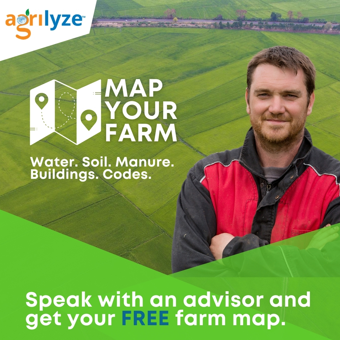
Speak with an Advisor to get your FREE Farm Map.
Thank you for your response!
Farm & Task Management
TRACK FARM INFORMATION
Improve your efficiency, teamwork, and profitability on every acre with our accurate, automated task and contact management tools.
The Agrilyze contact management tool allows you to keep track of anyone and everyone involved in your business.
Instant Weather Reporting
Weather & Change Monitoring
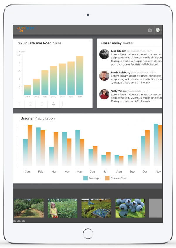
Weather forecasting helps you to see changes in precipitation patterns, changes in extreme weather events, and reductions in water availability as these elements may result in reduced agricultural productivity.
The Agrilyze weather widget is easy-to-use and always on hand when you need to keep tabs on the weather.
Equipped for the Future
Geospatially Enabled Data Sets
REDUCE CROP LOSS
Healthy soils produce healthy crops, learn about the soil composition of your farm land, and make better decisions.
Use Agrilyze to analyze the soil on your fields, ensuring the supply of essential nutrients, water, oxygen and root support that your crops need to grow and flourish.
Data Includes: Agricultural Capability Map, Phosphorus Affected Areas, Vulnerable Aquifer Recharge Area, Land Cover, Soil Map, Agricultural Land Reserve
Protect the Water Quality
FARM SUSTAINABLY
Sustainable agriculture can only be achieved with the wise stewardship of our water resources.
Agrilyze allows you to monitor surface runoff from crop fields that may carry large amounts of soil and can cause field erosion or may fill in lakes, rivers and streams with soil.
Data Includes: Fraser River Basin & Major Watersheds
Groundwater Data
MEET STANDARDS & COMPLIANCE
Water is used for everything from irrigating crops to preventing frost damage.
With Agrilyze, analyze any significant water issues and opportunities to minimize the likelihood of contamination of your farm and to meet farm safety standards.
Data Includes: Groundwater Aquifers, Groundwater Wells, Groundwater Alkalinity, Hardness, Nitrate/Nitrogen, Specific Conductance, Total Dissolved Soil
Land Management Data
INCREASE EFFICIENCY
Agrilyze allows you to determine, record and analyze information about the use of farmland and its associated resources.
Get data from multiple utilities and government sources so that you can support land management based on consideration for the environment and best practices.
Data Includes: Parcel Maps, Regional District, Flood Plain, Major Pipelines, Electric Transmission Lines
